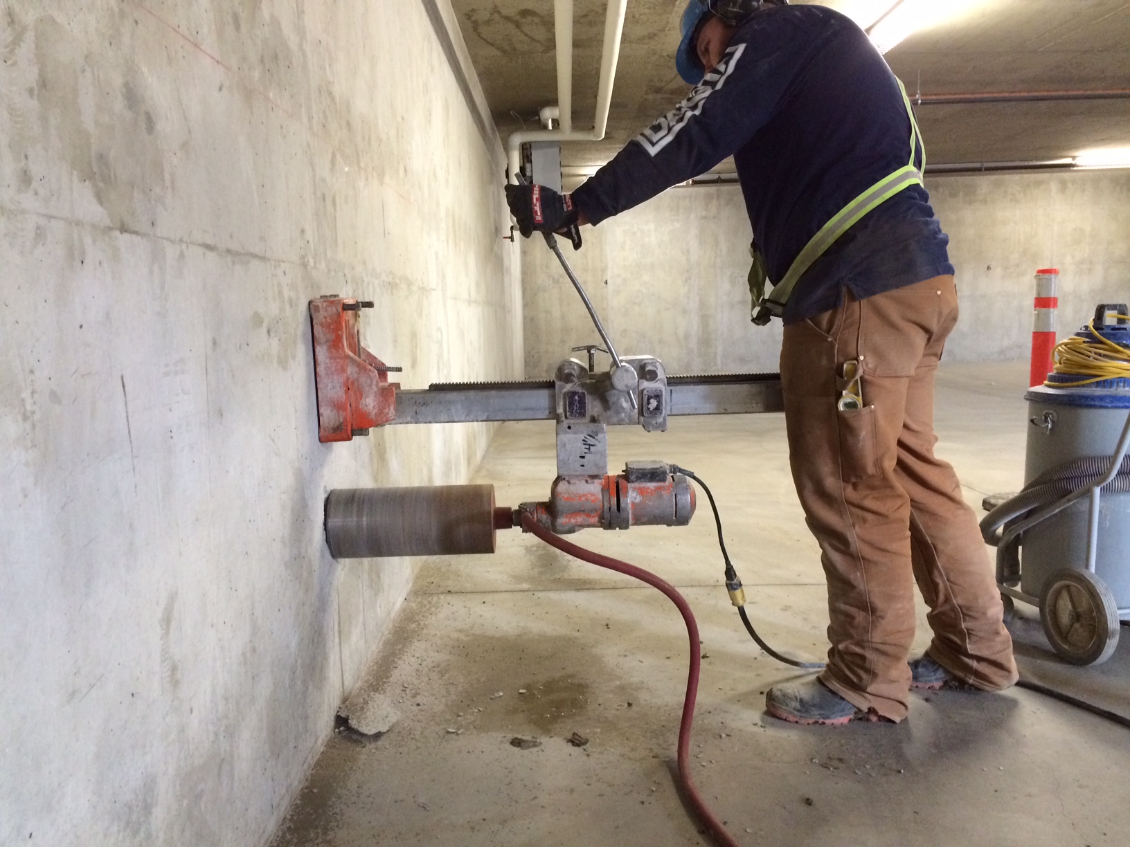
CORING SERVICES
Ground-Penetrating Radar (GPR) is a geophysical non-destructive testing method that uses radar pulses to image the subsurface of concrete, asphalt, and soil. It is commonly used in geology, archaeology, civil engineering, and environmental studies to locate inclusions in concrete structures and map underground features such as buried objects, geological structures, and groundwater.
The GPR system consists of a transmitter and a receiver that emits a high-frequency electromagnetic pulse, which travels through the ground/concrete and is reflected back to the receiver by different subsurface layers and objects.
Our experienced technicians are familiar with scanning in many different situations and conditions using GPR to detect the following items:
Outdoor Scanning – mapping underground utilities, tanks, pipes, cables, rocks, voids, graves, and archaeological artifacts.
Elevated Slab and Slab On-grade Scanning – mapping rebar, conduit, post tension cables, electrical boxes, etc.


